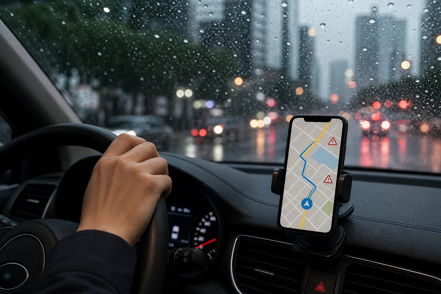

Naver Map flood detours are becoming more useful for monsoon driving because official control information for flood-prone underpasses is now being connected to navigation apps. For anyone searching for Naver Map Monsoon guidance, the key point is simple: the app can warn about flood risks, show some controlled road sections, and, in the latest pilot, help drivers avoid dangerous underpasses when control data is available.
The service has developed in stages. In 2024, navigation apps including Naver Map began showing real-time flood warning information at 223 locations nationwide, with screen and voice alerts when vehicles approached flood-warning or dam-discharge points. That early stage was designed for risk awareness and cautious driving, not separate detour routing.1 In 2025, the flood-risk coverage expanded to 933 locations, and Naver Map was reported as part of the major navigation services adding enhanced flood and inundation information.2
Naver Map Flood Detours: What Changed for Underpasses
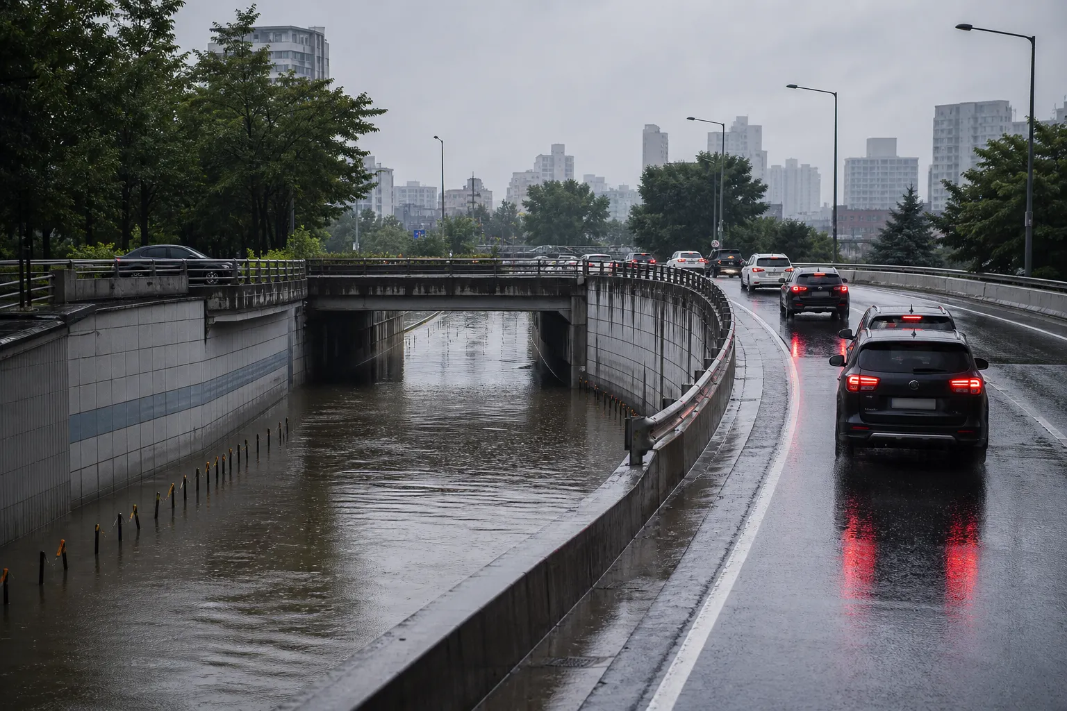
The most direct update for flooded-underpass avoidance came from the Ministry of the Interior and Safety, which announced a pilot service starting in May 2026. The pilot provides real-time control information for underpasses at risk of flooding to map and navigation apps including Naver Map. It first covers 83 underpasses in Seoul and Daejeon, with a plan to improve the service and pursue nationwide expansion in January 2027.3
This matters because underpasses can become dangerous quickly during heavy rain. The 2026 pilot is not just a general weather notice: local governments send underpass control information to the Disaster Safety Data Sharing Platform, the information goes through the National Police Agency, and then it is reflected in navigation apps.3 In practical terms, drivers should treat underpass-control notices in Naver Map as a reason to follow the app’s safer route guidance, avoid entering the controlled section, and check the route again if rain conditions change.
Park Hyeong-bae, Director General for Safety Prevention Policy at the Ministry of the Interior and Safety, described the service as meaningful because control information in dangerous situations can lead to actual road detours by drivers.3 That quote captures the practical purpose of the update: not merely telling drivers that flooding may exist, but helping them avoid a controlled danger point.
How to Use Naver Map During Heavy Rain
Before starting a trip in monsoon weather, set the destination in Naver Map instead of relying only on memory or habitual routes. NAVER Corp. said Naver Map added disaster notices such as flood warnings, dam discharge notices, and large-fire information, and reorganized incident icons from four types to seven types. Road and subway-station control information is provided by default, while controlled sections such as bridges, tunnels, and underpasses are marked on the map with red dotted lines.4
When route guidance is active, Naver Map can show flood warnings and dam discharge information along the route in advance, and it can also provide voice guidance when the vehicle approaches nearby risk areas.4 For driving, that means the safest workflow is to keep route guidance running even on familiar roads, especially when crossing low-lying roads, bridges, tunnels, or underpasses.
The 2024 public policy rollout explains the distance-based alerts behind some of these warnings. Vehicles entering within 1.5 km of a flood-warning point or within 1 km of a dam-discharge point receive screen and voice warnings through major navigation apps including Naver Map.1 These alerts are useful, but they should not be confused with full automatic detour support in every case. The 2024 service explicitly focused on danger recognition and cautious driving, with no separate detour-road guidance at that stage.1
For 2025, the flood-risk guidance became broader. The government’s improved service added a “serious stage” flood information category for points reaching 100% flood volume, expanded flood-risk guidance to 933 locations, and piloted information for six flood-concern underpasses and seven flood-risk general roads in the Yeongnam region.2 Naver also added a weather “report map” feature showing weather reports on a map, while coverage of flood information increased from 223 points in the previous year to 933 points in 2025.5
What the Alerts Mean and What They Do Not Mean
A flood or inundation notice in Naver Map should be treated as a driving-risk signal, not as permission to continue if the road ahead looks unsafe. The app may show alerts during route search, provide pop-up or voice guidance while moving, and display control sections on the map when the relevant data is available.5 If the app shows a controlled underpass or flood-risk road, the practical next step is to slow down, follow rerouting or avoidance guidance when provided, and avoid entering any visibly flooded road.
It is also important to understand the data sources. In the 2024 setup, flood warnings and dam-discharge information from the Ministry of Environment were delivered through a single open API operated by the National Information Society Agency, then displayed in navigation services.6 Seo Bo-ram of the Digital Platform Government Committee said the service became possible because government and private services were combined.6
That partnership is why Naver Map can be useful in rainy-season traffic decisions, but drivers should still recognize the limits. Coverage has expanded, and underpass control data is being piloted, yet nationwide underpass-control expansion is described as a 2027 goal rather than a completed service.3 If a local road, small underpass, or sudden flooding point is not included in the available data, the app may not show every hazard.
Quick FAQ
Does Naver Map automatically detour around every flooded road?
No. The 2024 flood-warning service was for risk awareness and cautious driving and did not provide separate detour-road guidance.1 The 2026 underpass-control pilot is more directly connected to avoidance because control information for flood-prone underpasses is reflected in navigation apps, but it initially applies to 83 underpasses in Seoul and Daejeon.3
What should I check first in Naver Map during monsoon rain?
Set your destination and keep navigation active so the app can show route-based flood warnings, control sections, pop-ups, or voice guidance where supported. Naver Map also marks controlled bridge, tunnel, and underpass sections with red dotted lines when that control information is available.4 !Naver Map flood risk navigation warnings for monsoon drivers For monsoon driving, Naver Map is best used as a live safety layer rather than a simple route finder. Its flood warnings, voice alerts, controlled-section markers, and 2026 flooded-underpass pilot can help drivers make better decisions, but the safest choice remains avoiding any road that is controlled, visibly flooded, or flagged as dangerous by official navigation alerts.
References
- 홍수 경보 지역 지날 때 차량 내비·지도앱이 위험 알려준다 (대한민국 정책브리핑, 2024-07-02)
- 정부, 여름철 홍수 위험 정보 내비게이션 알림 고도화 (전자신문, 2025-06-30)
- 침수 지하차도, 내비게이션으로 미리 알고 피해 가세요 (행정안전부, 2026-04-29)
- 네이버 지도, 사용자 위치 기반 교통 안전 정보 강화…사용자 증가세 이어간다 (NAVER Corp., 2024-07-17)
- 네이버 날씨, '제보 지도' 추가…재해재난 피해 최소화 (뉴시스, 2025-07-04)
- "도로침수 위험, 벗어나세요"…6개 내비게이션에서 사전 알림 뜬다 (ZDNet Korea, 2024-07-10)
About the Author